
Sometimes a country’s borders just make you pause and go, “whaaat”?
Borders are some of the most important things for a country to get right. Sometimes they make sense — following rivers, mountain ranges, or coastlines. But other times, you look at a map and can’t help but ask: what were they thinking when they drew this? These weird Jordan borders might give anyone pause — and there’s a fascinating historical reason why they’re like this.
Aesthetics are rarely a priority when borders are decided, and it shows. Few countries demonstrate this better than Jordan, whose jagged angles and oddly straight lines have turned it into a frequent subject of maps, memes, and confusion across the Middle East.
And no — not that Jordan, the basketball star.
The name is commonly linked to the Jordan River—often explained as deriving from a Semitic root meaning “to descend/flow down,” though other etymologies have also been proposed. For much of the early 20th century, the region was simply known as Transjordan — a vaguely defined administrative space east of the river.
Which raises the obvious question:
Why do Jordan’s borders look like that?
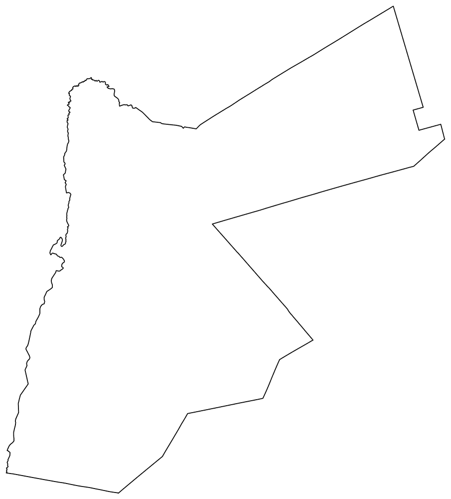
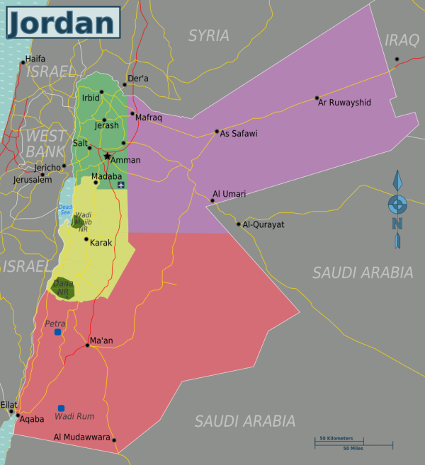
At a glance, Jordan’s borders don’t seem to follow much of anything.
Several of Jordan’s borders started as mandate-era administrative lines and later hardened into international frontiers—but they were shaped by a series of negotiations and treaties over decades, not one quick drawing session. These weird Jordan borders weren’t drawn with geography in mind.
After World War I, nothing was settled
After World War I, the Ottoman Empire collapsed.
As a result, Britain suddenly found itself in control of vast swaths of the eastern Mediterranean and Mesopotamia. In order to consolidate that control, Britain needed a buffer zone: between British-controlled Palestine and French-controlled Syria, between Iraq and the Arabian Peninsula, and between local tribes and imperial interests.
In other words, Jordan existed because Britain needed something there — not because anyone sat down and carefully designed a country.
What’s easy to forget is that many of the people drawing these lines did not expect them to last very long. They were solving immediate problems: who would administer which territory, how supplies would move, and how to avoid friction with neighboring colonial powers. Long-term national borders were not the goal — stability for the next few years was.
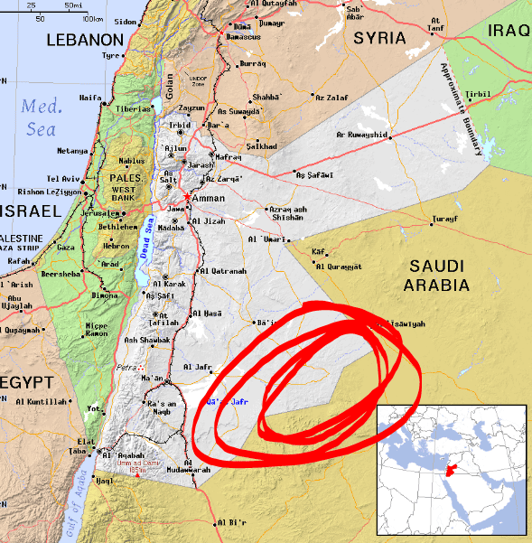
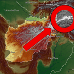
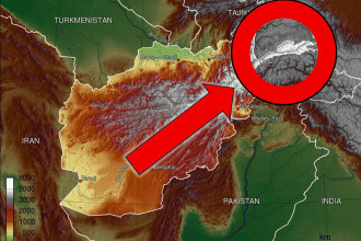
This corner on Jordan’s southern border tends to raise questions.
So why does the map look so strange?
Look closely at Jordan’s borders and certain features stand out immediately: long straight segments, sharp corners, and borders that completely ignore rivers, terrain, or settlements.
Straight lines are a clue that geography wasn’t the priority.
A lot of this happened because these lines were literally drawn on paper maps. They were often based on latitude and longitude, chosen to simplify administration and agreements rather than reflect geography on the ground.
Crucially, many of these borders were never meant to last forever. They were temporary solutions — which, over time, simply stopped changing.
Once these administrative lines hardened into international borders, they began shaping real life on the ground. Trade routes, border crossings, infrastructure planning, and security decisions all had to adapt to a map that had never been designed with those realities in mind. What started as convenience gradually became constraint.
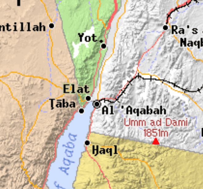
Jordan’s tiny coastline exists because access to the sea mattered.
Jordan’s access at Aqaba was strategically important—and in 1965, a Jordan–Saudi border agreement extended Jordan’s coastline on the Gulf of Aqaba by roughly 18–19 km. But each change solved a short-term problem — and usually made the map look even stranger.
You’ll often hear a legend that one man—Churchill—doodled the border after a boozy lunch. It’s a great story, but it’s mostly myth. The odd shapes people point to weren’t settled by a single sketch in 1921—they came from later negotiations and border agreements.
Photo credits:
1 – cacahuate, CC-BY-SA-4.0,3.0,2.5,2.0,1.0, Wikimedia Commons